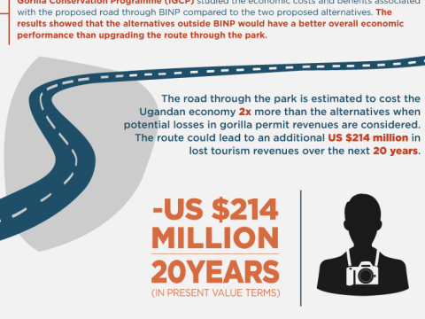
Environmental Economic Analysis and Infrastructure Policy in Uganda Environmental Economic Analysis and Infrastructure Policy in Uganda
Harnessing Conservation Finance for Crane and Wetland Conservation Harnessing Conservation Finance for Crane and Wetland Conservation
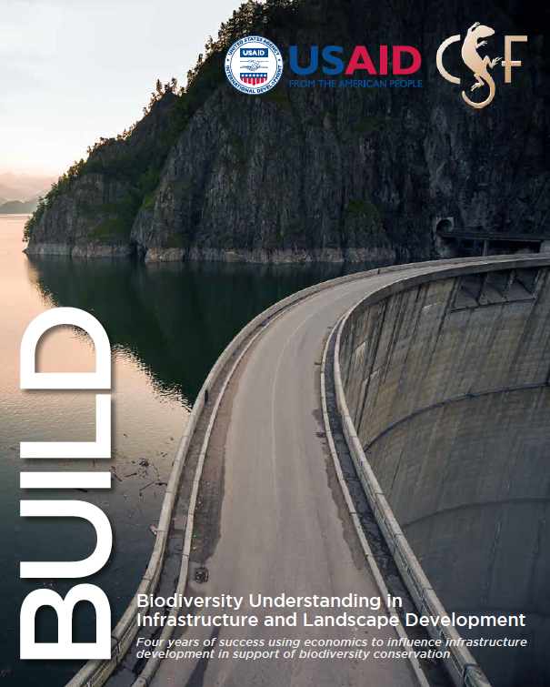
Biodiversity Understanding in Infrastructure and Landscape Development (BUILD) Biodiversity Understanding in Infrastructure and Landscape Development (BUILD)
Protected Areas Finance Tutorial with IUCN-PAPACO (self-paced course) Protected Areas Finance Tutorial with IUCN-PAPACO (self-paced course)
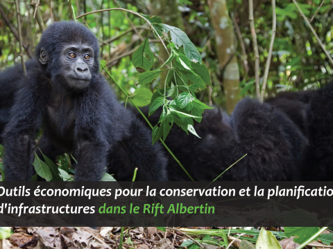
Outils Économiques pour la Conservation et la Planification d’Infrastructures dans le Rift Albertin Outils Économiques pour la Conservation et la Planification d’Infrastructures dans le Rift...
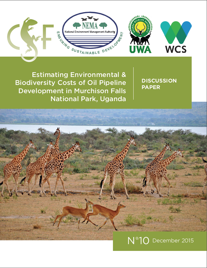
Estimating Environmental and Biodiversity Costs of Oil Pipeline Development in Murchison Falls National Park, Uganda Estimating Environmental and Biodiversity Costs of Oil Pipeline Development in Murchison Falls... February 8, 2016