News
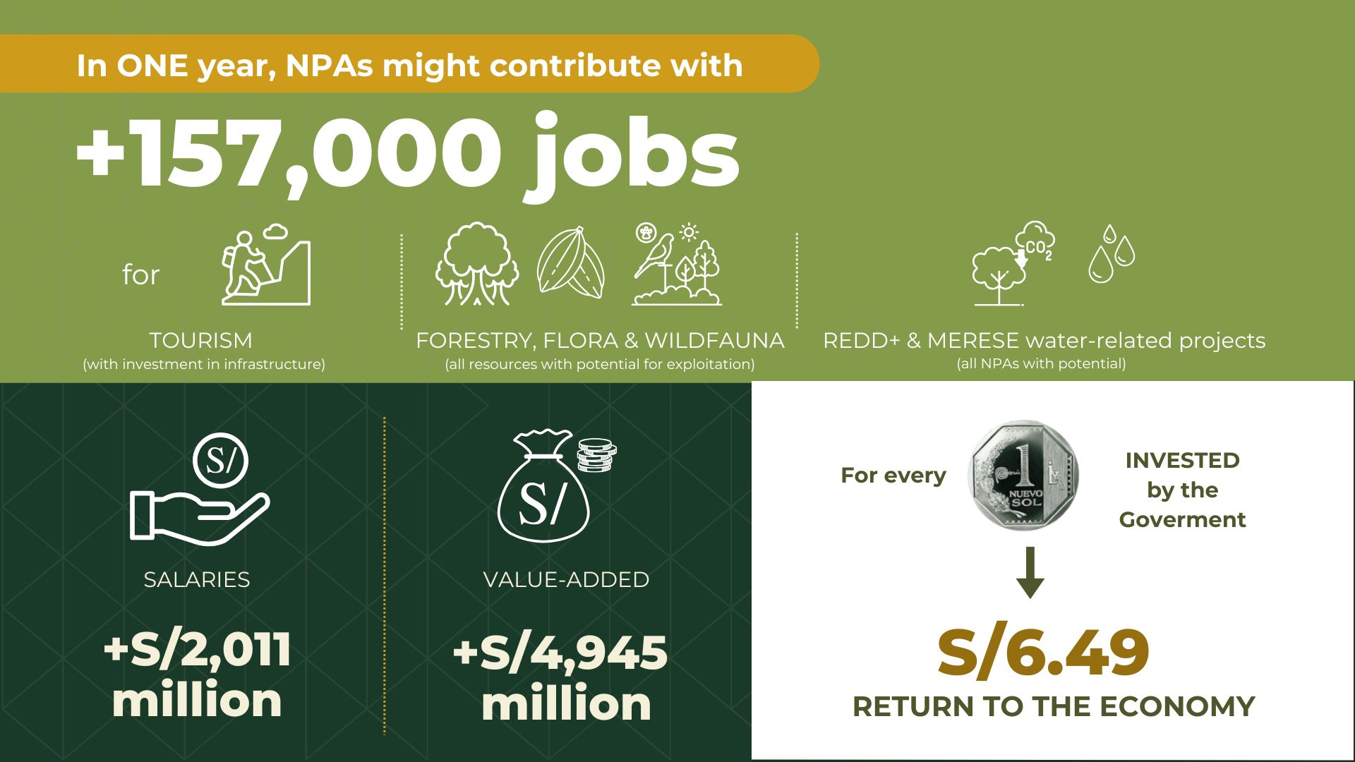
A recent study from Conservation Strategy Fund (CSF) demonstrates the positive impact of NPAs on the Peruvian economy, and highlights how an investment in these services could mean a return of nearly 900% in economic value to Peru. This economic analysis indicates that strategic investments in these spaces will conserve natural heritage, and also generate employment and economic growth.
The natural protected areas (NPAs) are home to much of Peru's megadiversity. Ensuring their sustainability and efficient management is not only essential for the conservation of the country's flora and fauna but also represents a key opportunity for economic development and the well-being of local communities. The Conservation Strategy Fund (CSF) study reinforces this idea, highlighting the potential positive impact of NPAs on the Peruvian economy. Its findings indicate that investment in these strategic spaces, in addition to conserving natural heritage, also generates employment and economic growth.
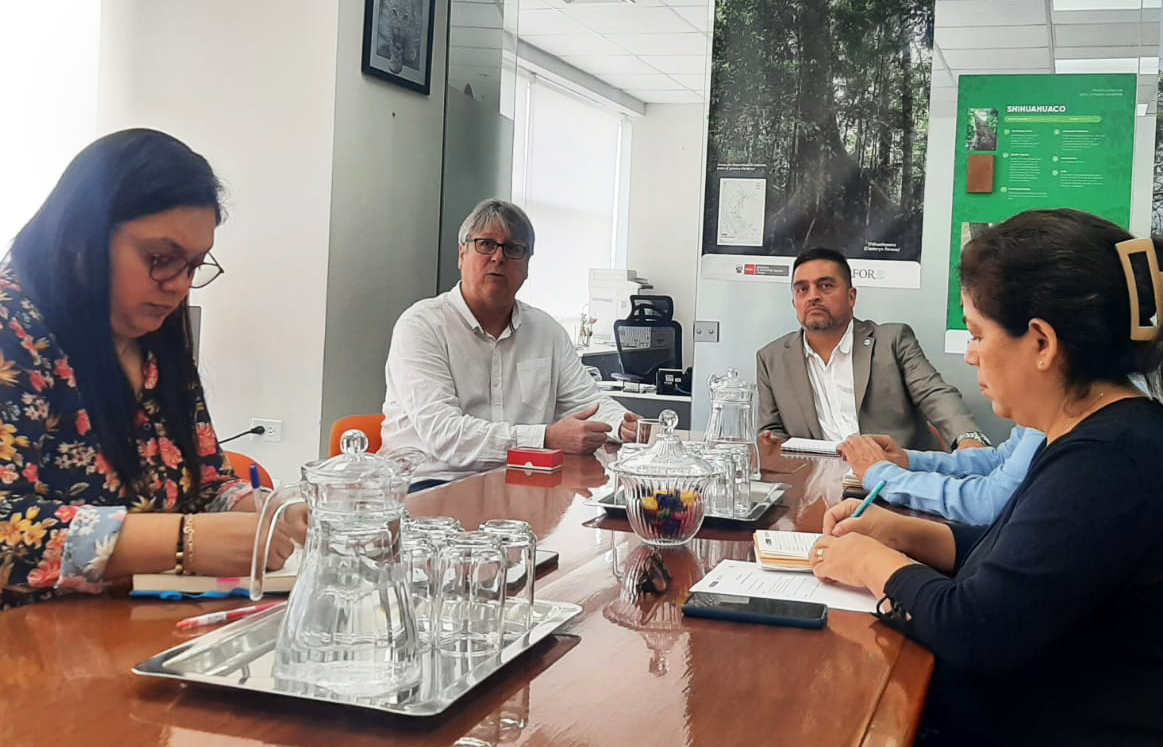
CSF Peru visited the facilities of the National Forest and Wildlife Service (SERFOR) to discuss the potential of building a common agenda where CSF's experience contributes with information that values the forest and wildlife heritage, estimates the cost of the loss of ecosystem services and its socio-environmental impact on the country. The meeting was attended by the Executive Director of SERFOR, Erasmo Otárola, officials of the entity and Augusto Mulanovich Diez-Canseco, director of CSF Peru.

#Numbers4Biodiversity
Alfonso Malky, Director for Latin America, CSF.
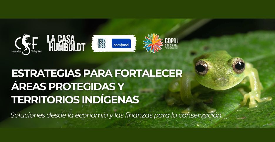
At COP16 in Cali, Colombia, Conservation Strategy Fund and the Humboldt Institute joined forces to present innovative financial instruments that promote, in a sustainable manner, the conservation of nature and strengthen the fundamental role of indigenous peoples in the protection of the region's ecosystems. The green zone of the COP in Colombia was the space where Alfonso Malky, Director for Latin America, and Pedro Gasparinetti, Director of Innovation, presented CSF's proposals for the sustainability of sensitive ecosystems and the indigenous communities that inhabit them.
CSF was present at the “Workshop to present the proposed indicators in the forestry sector to measure progress in Bolivia's NDC”.
Last Friday, July 12, in the city of La Paz, the Autoridad Plurinacional de la Madre Tierra (APMT) organized the workshop on the Presentation of Proposed Indicators in the Forestry Sector to Measure Progress in Bolivia's Nationally Determined Contribution (NDC).

Bolivia ha experimentado un desafío angustiante en los últimos años: los incendios forestales. Estos eventos devastadores no solo dejan cicatrices en el paisaje, sino también en la vida de las personas y en la rica biodiversidad del país. En este análisis, exploraremos a fondo el impacto de los incendios en Bolivia a nivel nacional. Destacaremos las diversas facetas de este problema, que incluye la pérdida de bosques y biodiversidad, las consecuencias ambientales y económicas.

Many people think logging is a major cause of tropical deforestation, but in this blog post we show that expanding forestry concessions may actually be the best way of protecting the forest in Bolivia.
In 2016, about 5.6 million hectares of Bolivian forest were being used for timber production through long-term forestry concessions (see Map 1). The forestry concessions were located mainly in areas with Amazon rainforest (63%) and Chiquitano dry forest (31%).
Map 1: Forestry concessions in Bolivia, 2016 (5.6 million hectares)

Mucha gente piensa que la tala de árboles es una de las principales causas de deforestación. En este blog mostraremos que, en realidad, expandir las concesiones forestales puede ser la mejor manera de proteger los bosques en Bolivia.
En 2016, alrededor de 5,6 millones de hectáreas de bosque en Bolivia estaban siendo utilizadas para la producción de madera a partir de concesiones forestales de largo plazo (ver Mapa 1). Las concesiones forestales estaban localizadas principalmente en el Bosque Amazónico (63%) y Bosque Seco Chiquitano (31%).

Introduction
Deforestation implies a dramatic change of vegetation cover and land-use that can easily be observed from space. Figure 1 shows a particularly striking series of satellite images of the San Julián settlement north of the city of Santa Cruz de la Sierra in Bolivia between 1975 and 2021.
Figure 1: Satellite images of the San Julian settlement in 1975, 1986, 1995, 2005, 2017, and 2021.